
Discover Raskelf
Raskelf is a village located in North Yorkshire, governed by North Yorkshire Council (formerly Hambleton). It has a population of approximately 600 residents. Situated within the YO61 postcode area, Raskelf is known for its historic church, St. Mary's, with its unique wooden tower, attracting visitors interested in heritage architecture.
Explore the map below to discover accommodation, attractions, restaurants, and live events across Raskelf. Scroll down to browse featured listings and plan your perfect visit.
Stay in Raskelf
The Old Farmhouse
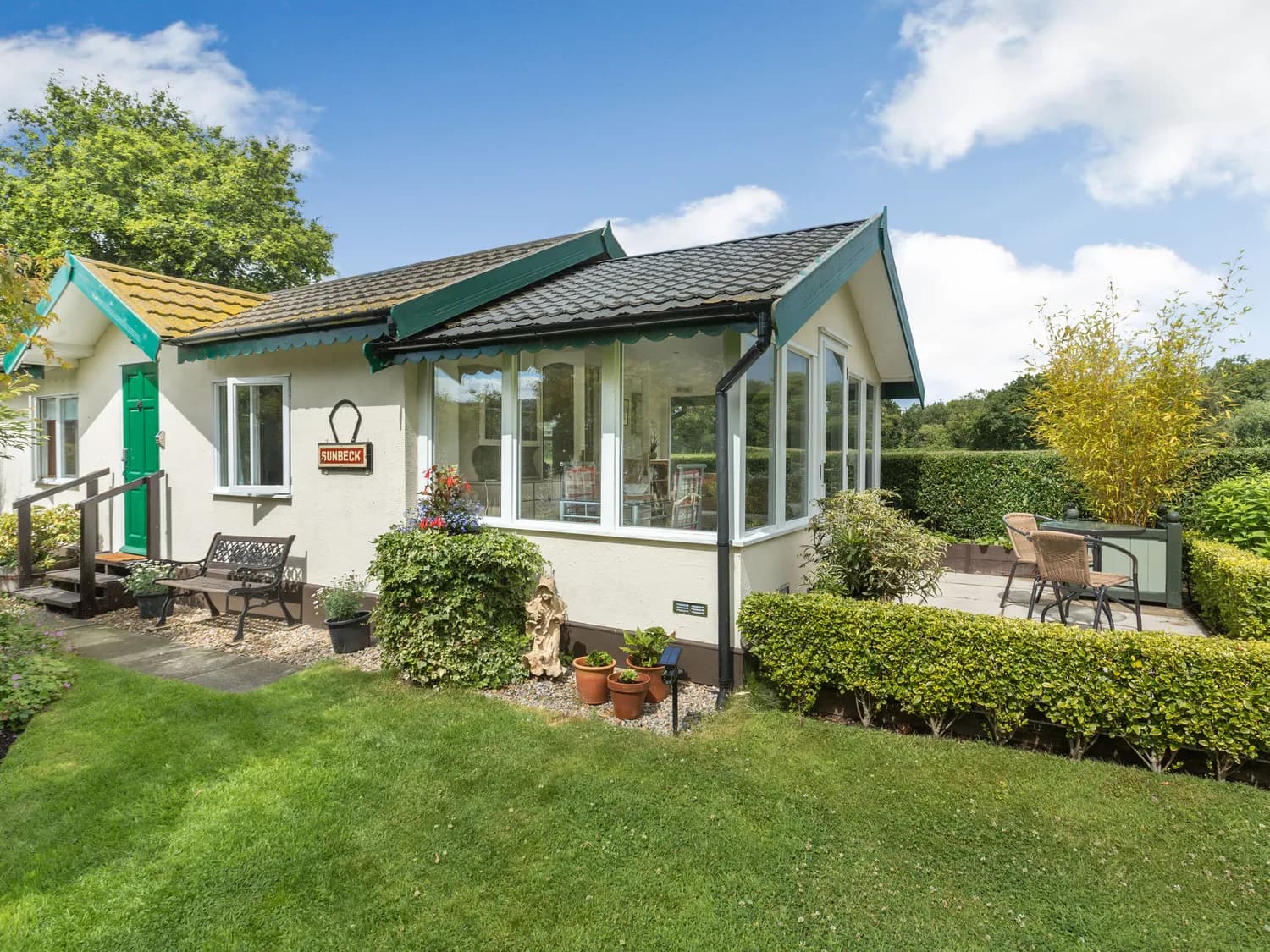
Sunbeck Gatehouse

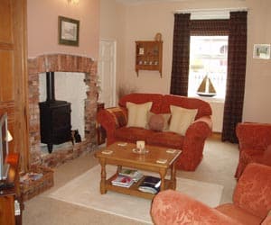
Old Black Bull Raskelf
Old Black Bull Raskelf provides comfortable accommodation in raskelf.

Ivy House
Nestled in the picturesque Yorkshire village of Borrowby, Ivy House is a beautifully renovated farmhouse steeped in history.
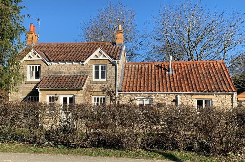
Forge Cottage, Helmsley

The George Country Inn
The George Country Inn, located in the charming village of Middleton Quernhow near Ripon, offers convenient parking for guests visiting the area. This pay-and-display facility ensures easy access for those exploring nearby attractions like Fountains Abbey. Enjoy a comfortable stay with delicious meals at this welcoming inn.
Things to Do in Raskelf
Yorkshire In Style

Norby Park
Norby Park in Thirsk offers beautiful waterside walks, natural beauty, and fun for all ages, including the family dog.

Thirsk Sculpture Park
Discover a captivating collection of sculptures and art in the serene setting of Thirsk Sculpture Park.
Browse by Type
Food & Drink

Rascills Restaurant & Wine Bar
Old Black Bull Raskelf
Old Black Bull Raskelf offers great dining in raskelf.
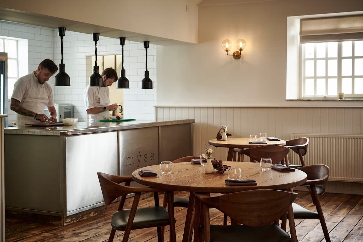
Restaurant Mýse
Located in the picturesque village of Hovingham, Restaurant Mýse offers a delightful fine dining experience. While enjoying the culinary delights, visitors can conveniently park nearby using the pay-and-display parking options available in the area. This ensures a hassle-free visit to this renowned dining destination.

Interactive Map
View accommodation, attractions, restaurants, and events on the map
Geographic Facts
This village is geographically within the following regions:
- Population
- 568
- Area
- 1,732.09 km²
- Postcode
- YO61
- Administrative area
- North Yorkshire
- Dialing code
- 01347
Data sourced from Wikidata and verified public records


